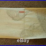
WW2 German Kriegsmarine 1600000 Seekarte NAVIGATION MAP NORTH & EAST SEA #2
This map is titled “Die Nord und Ostsee zwischen Texel und Arkona (North and East Sea, between Texel and Arkona), and measures a VERY NICE 28″ x 41 size. Made of heavy paper, this map is in EXCELLENT condition for its age, and covers the Baltic. It was produced by the Oberkommando der Kriegsmarine, and… (read more)


